Location & Directions
How to Get Here
Nearby Airports
- Asheville Regional Airport, Asheville, NC
- Hartsfield-Jackson Atlanta International Airport, Atlanta, GA
- Greenville-Spartanburg International Airport, Greer, SC
- Charlotte Douglas International Airport, Charlotte, NC
Nearby Cities
- Asheville, NC — 1.5 Hours
- Birmingham, AL — 5 Hours
- Greensboro, NC — 4 Hours
- Knoxville, TN — 2.5 Hours
- Atlanta, GA — 2.5 Hours
- Charlotte, NC — 3 Hours
- Greenville, SC — 2 Hours
- Raleigh, NC — 5 Hours
Directions to The Farm at Old Edwards - 2 Miles
- Drive northwest on Main Street/US-64/NC-28 (toward Franklin). Continue for 0.1 miles.
- Turn left at the traffic signal onto NC-106/Dillard Road. Continue for 1.2 miles.
- After the Highlands Country Club, turn right onto Arnold Road.
- Continue for 0.5 miles to the 5th driveway, marked with stone pillars and a Farm sign.
Directions to Old Edwards Club - 6.5 Miles
- Drive north on N 4th Street/US-64 E (toward Cashiers). Continue for 6.4 miles.
- After the Whiteside Mountain viewing area, turn left onto Highlands Cove Drive (Sign will say Old Edwards Club at Highlands Cove.)
- Proceed to Gate House
Highlands Climate
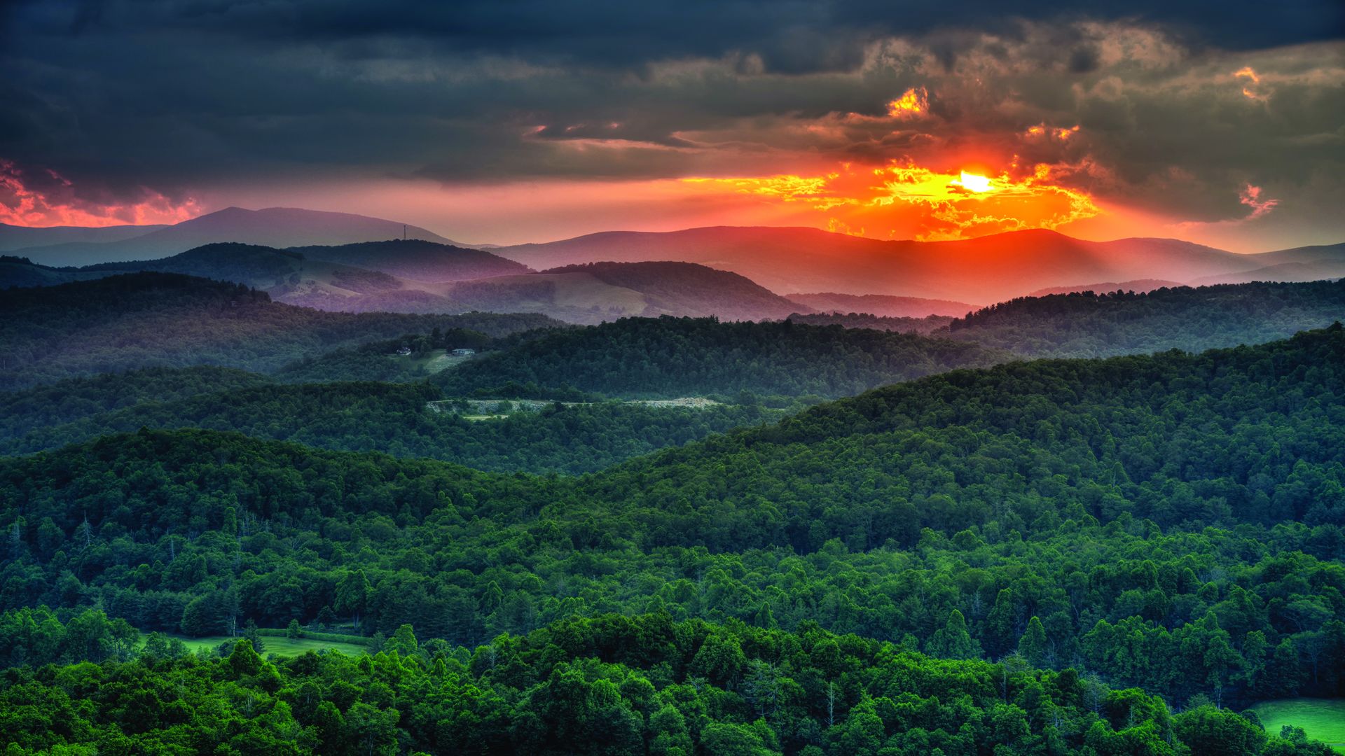
The Highlands Plateau is in the southern Blue Ridge Mountains of Western North Carolina. The Village is at an elevation of 4,118 sea level, making it one of the highest altitudes and coolest of all towns in the southern US during the summer. Highlands enjoys an average high of 78 degrees in July and around 90 inches of rain annually. Rainfall and abundant sunshine create a verdant microclimate that delights botanists, locals, and visitors.


